The Indian economy relies heavily on logistics and supply chain management to ensure the efficient flow of goods, people, and services across the country. With the implementation of initiatives like PM Gati Shakti, Sagarmala, and Bharat Mala, the Indian government has successfully decreased the logistics GDP from 14% to approximately 7.8% to 8.9%.
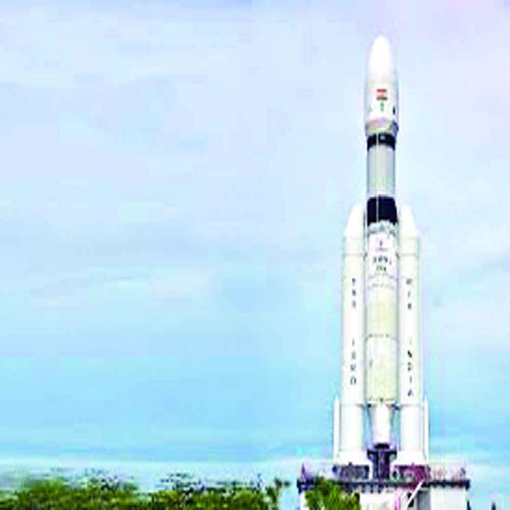
The recent success of Chandrayan-3 could significantly increase Indian space technology's capabilities. The mission was effective in increasing the capabilities of space technology, including web geographic information systems (GIS), satellite communication, remote sensing, and satellite navigation systems. Geographic location data is communicated globally via the Global Positioning System (GPS), a radio navigation system based on satellite technology.
NavIC, or "Navigation with Indian Constellation," is a regional satellite navigation system developed by the Indian Regional Navigation Satellite System (IRNSS). NavIC is intended to provide precise location information for use in both local and international contexts. The seven satellite constellation covers a sizable area of 1500 km outside of India's boundaries in addition to offering trustworthy positioning services within the country.
GPS technology can be used to track the locations of recent conflicts across nations or state borders that cross rivers, mountain ranges, or the ocean. Surveyors use absolute position accuracy to draw boundaries between properties and make maps.
Facilities may be placed where they are best suited, resources can be assigned, warehouses can be built, and places for multimodal logistic parks and special economic zones can be found. Improved car navigation systems are made possible by telematics, a technology that combines GPS with computers and mobile communications networks. Vessel and container movements can be tracked and their position, velocity, speed, and direction can be obtained by using the Wide Area Augmentation System (WAAS).
The port and logistics sectors will greatly benefit from this technology. In recent years, governments around the world have turned their attention to intelligent transportation systems for the control of urban traffic. The widespread use of GPS technology in cars offers a great opportunity to revolutionize traffic control. From metropolitan roads, thousands of automobiles are transmitting real-time data, including speed, latitude, longitude, and other relevant metrics.
The dynamic data can be leveraged to support a range of studies and applications in Intelligent Transportation Systems, leading to enhanced safety protocols, less traffic jams, and better traffic flow. To accelerate infrastructure development and urban planning initiatives in their respective regions, airport planners, managers, and their counterparts at other agencies can share information via satellite-derived data. Urban thermal environments can be assessed using remote sensing to see how different land uses, patterns of landscape, and rising city temperatures affect them.
The army and police departments can use this technology to help track and trace operations. Use Unmanned Aerial Vehicles (UAVs) in conjunction with satellite systems to perform operations that extend beyond visual line of sight (BVLOS). Examples of these missions include covering terrestrial territory and offering support in places vulnerable to disruptions or affected by natural catastrophes. Utilizing satellites in geostationary orbit—that is, 35,786 kilometers above Earth's surface—Space Internet is a telecommunications service.
In contrast to the limitations imposed by wireless networks or fiber-optic cables, these satellites in orbit have the ability to overcome barriers. Developed countries are repurposing airborne laser scanning (ALS) data to reconstruct railway overhead lines, hence offering safe and dependable transportation services, by using space-based internet. In order to provide connectivity to remote locations with challenging geography, including the Himalayas and isolated areas in the northeast, satellite-based internet deployment is needed. India has a route to realizing its goal of Atmanirbhar Bharat through the incorporation of space technology into supply chain management and logistics.
India can improve the effectiveness, dependability, and resilience of its logistics networks by utilizing developments in satellite navigation, remote sensing, satellite communication, and space internet. Logistics are revolutionized by space technology, which includes GPS, satellite communication, and remote sensing. It also improves inventory management, optimizes routes, forecasts the weather to reduce hazards, and enhances real-time tracking. Space technology also provides comprehensive geographical analysis for supply chain management, improving efficiency and cutting costs across industries, and worldwide communication networks for smooth coordination.


 Categories